Galapagos
North Galapagos Seamounts
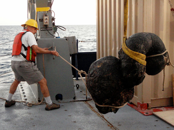
Dan Fornari hauling up a dredge. Later he brought me two mud samples from this area.
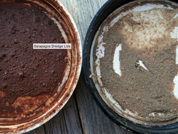
LEFT: 1° 52.96′ North 91° 16.96′ West, 1600 meters depth. RIGHT: 0° 47.21′ North 90° 54.09′ West, 1942 meters depth.
|
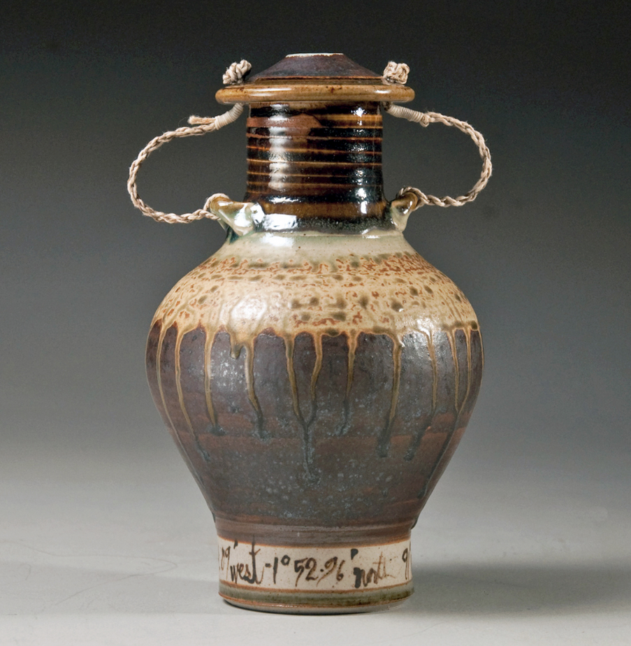
This urn is glazed with the dark and light seamounts samples in photo at left.
|
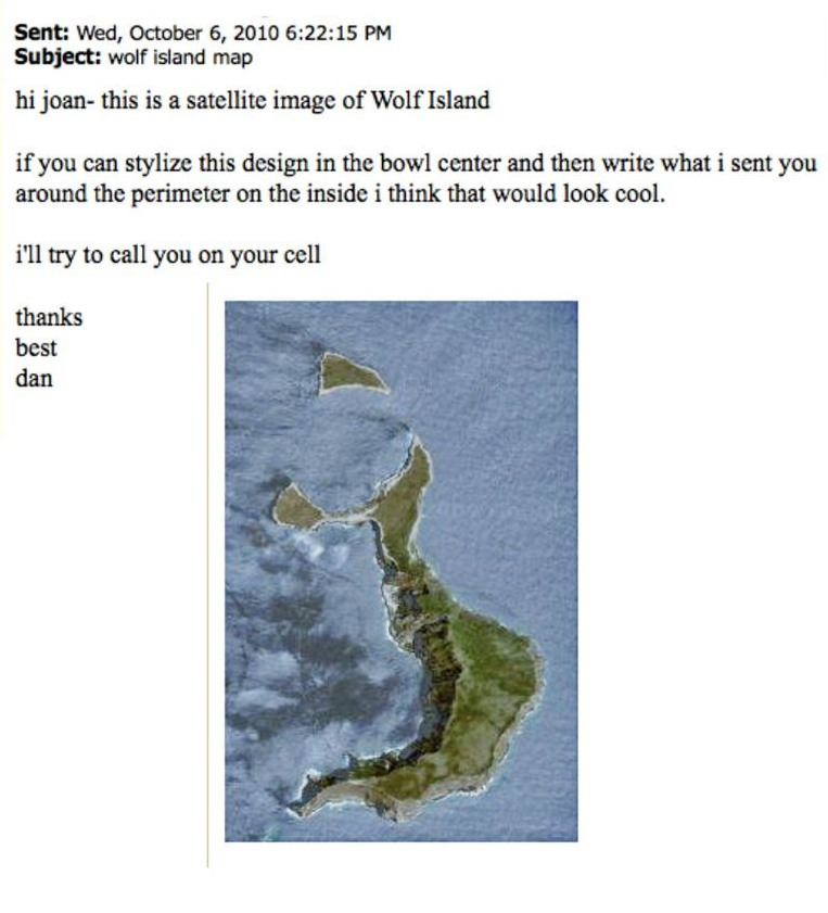
A Fun Challenge!
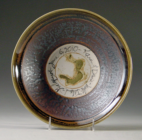
The geologist who gave me these samples married a couple on Wolf Island. His email at left. First tests at right.
Dan trusted me to succeed more than I trusted myself. I warned him and and these are the first tests.
Dan trusted me to succeed more than I trusted myself. I warned him and and these are the first tests.
|
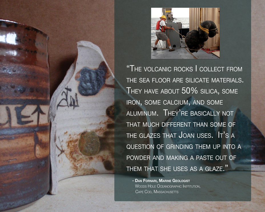
Note geologist hauling up a dredge; with it came mud.
|
It Worked!